Virtual Reality 3D Mapping
Virtual Reality is a new way of data collection to create plans digitally in order too see the reproduction of conditions of buildings and external sites. Find out more about Virtual Reality 3D Mapping.
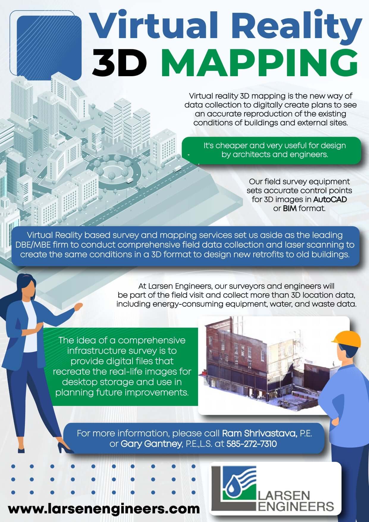
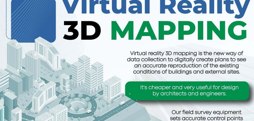
Virtual Reality is a new way of data collection to create plans digitally in order too see the reproduction of conditions of buildings and external sites. Find out more about Virtual Reality 3D Mapping.